
Berks County ZIP Code Directory Coverage
These entries are a practical county-serving reference, not a legal boundary roster. The post-office label is the postal name associated with the area in the research, while the notes retain the important delivery and county-line limits. A full-address result remains necessary before treating a ZIP as the delivery code for a particular door. The table deliberately avoids claiming that it lists every possible postal area touching Berks County.
| ZIP | Areas Covered | Post Office | Notes |
|---|---|---|---|
| 19501 | Adamstown | Adamstown | Berks and Lancaster border community. Verify the individual side. |
| 19503 | Bally | Bally | Eastern Berks borough and rural service. |
| 19504 | Barto | Barto | Eastern Berks rural postal area. |
| 19505 | Bechtelsville | Bechtelsville | Eastern Berks postal geography. |
| 19506 | Bernville | Bernville | Northwest and central Berks service. |
| 19507 | Bethel | Bethel | Northern Berks postal area. |
| 19508 | Birdsboro | Birdsboro | Southeast Berks, with postal and municipal boundaries that can differ. |
| 19510 | Blandon | Blandon | Northeast Berks postal area. |
| 19511 | Bowers | Bowers | Eastern Berks postal area. |
| 19512 | Boyertown | Boyertown | Serves Berks and an adjacent-county area. USPS verification is essential. |
| 19518 | Douglassville | Douglassville | Southeast Berks postal community that crosses county context. |
| 19522 | Fleetwood | Fleetwood | Northeast Berks. |
| 19526 | Hamburg | Hamburg | Northern Berks. |
| 19529 | Kempton | Kempton | Far northeast and rural Berks area. |
| 19530 | Kutztown | Kutztown | Northeast Berks borough and university-area postal designation. |
| 19533 | Leesport | Leesport | Central and northern Berks; the county jail uses this postal address. |
| 19534 | Lenhartsville | Lenhartsville | Northern Berks postal area. |
| 19536 | Lyons | Lyons | Eastern Berks. |
| 19539 | Mertztown | Mertztown | Eastern Berks. |
| 19540 | Mohnton | Mohnton | South-central Berks. |
| 19541 | Mohrsville | Mohrsville | Northern Berks. |
| 19543 | Morgantown | Morgantown | Southern Berks and adjacent counties. |
| 19545 | New Berlinville | New Berlinville | Eastern Berks rural postal area. |
| 19547 | Oley | Oley | Eastern Berks. |
| 19550 | Rehrersburg | Rehrersburg | Northwest Berks. |
| 19551 | Robesonia | Robesonia | Western Berks. |
| 19554 | Shartlesville | Shartlesville | Northern Berks. |
| 19555 | Shoemakersville | Shoemakersville | Northern Berks. |
| 19560 | Temple | Temple | Central and northeast Reading-area postal community. |
| 19562 | Topton | Topton | Northeast Berks. |
| 19564 | Virginville | Virginville | Northern and central Berks rural area. |
| 19565 | Wernersville | Wernersville | Western Berks. |
| 19567 | Womelsdorf | Womelsdorf | Western Berks. |
| 19601 | Central Reading | Reading | City of Reading central postal area. |
| 19602 | Reading | Reading | City postal area. Reading Public Library Main uses this address code. |
| 19603 | Reading | Reading | PO Box or postal designation. Verify delivery eligibility. |
| 19604 | Reading | Reading | Verify the boundary for the specific address. |
| 19605 | Greater Reading | Reading | Greater Reading postal geography. |
| 19606 | Greater Reading and Exeter area | Reading | Postal geography can cross municipal labels. |
| 19607 | Reading and Shillington area | Reading | Postal geography can differ from city limits. |
| 19608 | Greater Reading | Reading | Greater Reading postal geography. |
| 19609 | Greater Reading and Wyomissing area | Reading | Postal geography can differ from municipal boundaries. |
| 19610 | Greater Reading and Wyomissing area | Reading | Postal geography can differ from municipal boundaries. |
| 19611 | Reading | Reading | City of Reading postal geography. |
| 19612 | Reading | Reading | Postal designation. Verify current delivery use. |
Other county-line postal areas can touch Berks County without becoming county-serving ZIP codes for every address. Elverson, Gilbertsville, Pottstown, and Port Clinton are examples that need an address-level USPS result. No verified countywide ZIP realignment date was found, so a date is not assigned here.
Berks County Postal Geography
The United States Postal Service assigns ZIP codes for delivery, not for municipal identity. Use the USPS national map and address lookup with a complete street address, then retain the preferred city and ZIP returned for that address. A place may be identified by its municipality on a county record yet receive mail under a different postal city. The reverse is also true: a Reading postal city can extend beyond City of Reading limits.
This distinction changes how a search result should be read. A postal city is a mail convention. A municipality identifies the local government context. County records add a third layer through parcel and tax-map identity. For a Berks County address search, the safest match is the full address plus municipality and UPI, not the postal label alone.
Note: A ZIP label is a useful sorting clue, but it does not establish the county, municipality, or residence of a named person.
Reading Postal Labels and City Limits
The 196xx group makes the mismatch clear. Central Reading uses 19601, while 19602 is a city postal area and the Reading Public Library Main address uses it. Codes 19605 through 19610 cover Greater Reading variants, including Exeter-area, Shillington-area, and Wyomissing-area postal geography. They should not be read as a single municipal outline. Codes 19603, 19604, and 19612 each carry a verification warning in the research.
For a family-history or parcel question, check the county situs field and municipality before concluding that a Reading-labeled address lies in the City of Reading. That same habit helps with 19501 Adamstown, 19512 Boyertown, 19518 Douglassville, and 19543 Morgantown. Each is connected to postal geography that reaches beyond one simple local boundary.
Search Berks County Property Data by ZIP
The Berks Property Records Search is the starting point for parcel identity. Its current landing page confirms Basic Search for owner, parcel, or address and a Map Search. The related county tax search adds mailing fields, including City and Zip Code. A ZIP match in those fields can help group tax-correspondence records, but it is not an address-boundary query and does not identify every resident in that area.
Legacy GIS documentation also described Postal ZIP Code searching alongside owner name, PROPID or UPI, Map PIN, site location, emergency-services location address, and municipality. The county announced a new property-records tool while retiring legacy assessment search and viewer tools in 2025. For a current task, use the live property portal and treat the legacy field list as evidence of past capability, not a promise about the present interface.
A parcel result is an ownership and mapping record. It can supply a current owner of record, situs, and identifier. It does not provide a ZIP-wide list of people living in homes, and a tax mailing address may be somewhere else entirely.
For a documented nonjudicial county-agency record that is not online, the Berks County Open Records Office explains the Pennsylvania Right-to-Know Law request path.
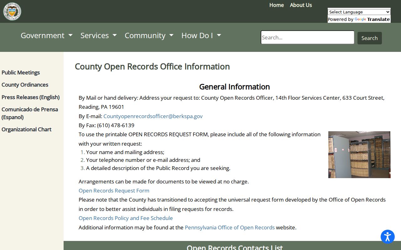
The office is a fallback for a specific county-agency record request, not a source of a ZIP-wide resident roster. Send a focused request to the appropriate custodian and preserve the address and parcel details already verified.
See the Berks County street directory when a postal area has been narrowed to a particular road or address.
Berks County Postal Search Fields
The county tax and property tools support several ways to move from a postal clue to a parcel record. The following fields were documented in the research. Their purpose is comparison, not proof that an owner, taxpayer, or addressee is a current occupant.
| Field | Type | Required | Use and limitation |
|---|---|---|---|
| Owner Name | Text | No | Find an owner-of-record entry, not a household roster. |
| Property ID / Parcel Number | Text | No | Known as PROPID or UPI in legacy material; tax search uses Parcel Number. |
| Map PIN | Text | No | Legacy parcel-search option. |
| Site Location / Location Address | Text | No | Tax search asks for house number and street only. |
| Municipality / School District | Dropdown | No | Useful limits when similar street names or places overlap. |
| Mailing Address, City, Zip Code | Text | No | Tax-correspondence fields. Mailing ZIP is a clue, not a situs boundary. |
A map or parcel card should be checked against the record itself. Record the UPI and legal description when the task will move to a deed. Those identifiers are steadier than a postal label when an address format or community name has changed.
Berks County ZIP Code Workflow for One Address
Use the ZIP as one part of an ordered address check. The result becomes stronger as it moves from postal information to county parcel identity and then to recorded land records.
- Enter the complete address in the USPS lookup and save the returned preferred city and ZIP.
- Open the Berks property search with the street address, owner, or parcel identifier, then confirm the situs and municipality.
- Use the county tax portal when a Mailing Address, City, or Zip Code clue is relevant. Treat those fields as correspondence data.
- Keep the UPI and legal description from the parcel record before checking a recorded transfer or plan.
- Use the Berks County Recorder of Deeds record search by party and date when the question is about a recorded property event.
This sequence resolves common look-alikes. It also avoids turning one broad delivery area into an unsupported claim about everyone who lives there.
Berks County Situs and Mailing Addresses
County records use three address languages that answer different questions. The situs is the physical parcel location. The mailing address is where tax correspondence goes. The legal description is the lot, block, subdivision, or metes-and-bounds text that follows the parcel through deeds. A postal ZIP belongs with the delivery address, so it cannot replace the legal description in a history of the land.
- ZIP versus ZIP+4
- A ZIP identifies a broader delivery area. ZIP+4 adds a more specific delivery segment and should be taken from the complete address result.
- PO Box ZIP
- A postal designation used for box service. It may not establish street delivery eligibility.
- Unique ZIP
- A ZIP assigned for a specific postal purpose or addressee. None is asserted here without a verified county source.
- Carrier route
- A delivery-route grouping used by postal operations. It is not a municipal or parcel boundary.
When an old document prints a different street string, compare the UPI, lot, subdivision, plan reference, or legal description. Historic maps and plans can provide the crosswalk. No official countywide street-renumbering history was located.
Berks County ZIP Checks Reach the Recorder
The Berks County Recorder of Deeds keeps the recorded transfer and plan layer that can verify a parcel trail after a ZIP search has narrowed the address.
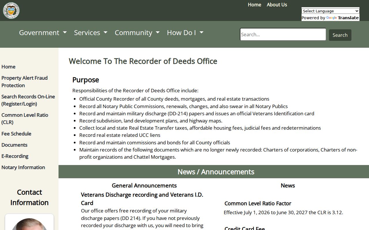
The Recorder image reinforces the handoff from a postal clue to the document custodian. Record the parcel identifier and legal description first, then compare the returned instrument with the address as printed in that record.
Berks County Parcel Viewer Check
The Berks parcel viewer is the mapping layer for comparing parcel boundaries and address points after a postal result has narrowed the place.
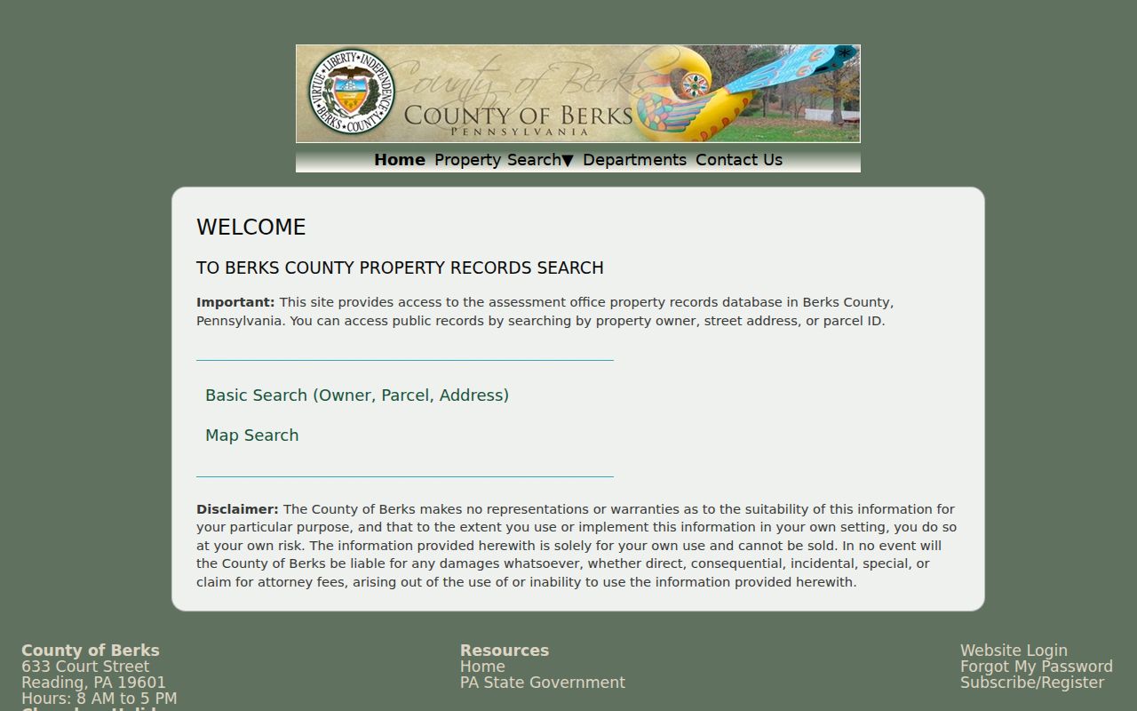
Parcel geometry helps distinguish nearby addresses, but it is not a resident list. Open the matching parcel record and cross-check the situs, municipality, UPI, and mailing fields before treating the postal label as settled.
Berks County Postal Limits
Neither the county property system nor the postal service publishes a general roster of people by ZIP. The property and tax records can show an owner of record and a mailing address, while the legacy GIS material described postal ZIP capability. Those sources are useful for a property question, but neither supplies a complete list of occupants. Renters, utility subscribers, and other household members are not turned into a county ZIP directory.
For a mismatch, return to the full-address USPS result and the county parcel card. That pair gives a more reliable answer than an assumed city or county boundary.