
Follow a Berks County Street Address
Address research starts with a specific house number and street, not a claim about a whole road. The current Berks Property Records Search offers Basic Search for owner, parcel, or address, plus Map Search. Its older parcel search described owner name, PROPID or UPI, Map PIN, site location, emergency-services location, municipality, and postal ZIP routes. Those tools identify a parcel and its current owner of record. They do not establish who occupies a home.
For a long road, add the municipality when available. The tax search accepts the house number and street, while the mapping record can help distinguish matching road names. Keep the returned situs, meaning the physical parcel location, beside the UPI and legal description. That small record set is a safer starting point than a postal city label alone.
- Enter the house number and street in Property Records Search or Map Search, then confirm the situs and municipality on the matching parcel.
- Copy the parcel identifier, also called PROPID or UPI, and the legal description shown or referenced by the parcel record.
- Open the parcel map and compare the boundary and address point with the selected record before moving to another lot.
- Use the current owner spelling and date clues in the Berks County Recorder of Deeds official record search to find the acquisition document.
- For historic household clues, ask the local repositories for a confirmed edition of a street, telephone, or reverse directory rather than treating it as a current roster.
Note: The workflow traces address-keyed records and recorded parties, not a complete list of occupants along a Berks County street.
Berks County Street Directory Search Fields
The street directory tools use several identifiers for the same property. The current portal was in maintenance during research and announced a newer tool while legacy assessment search and viewer tools were being retired in 2025. Basic Search still confirmed owner, parcel, and address choices. The legacy screen remains useful evidence for field names, but a live result should always control when a label or option changes.
| Field | Type | Required | Street-use note |
|---|---|---|---|
| Owner Name | Text | No | Finds an owner of record, not every resident. |
| Property ID / Parcel Number | Text | No | Legacy labels include PROPID and UPI; tax search uses Parcel Number. |
| Map PIN | Text | No | Legacy map-to-record crosswalk. |
| Site / emergency-services location | Text | No | Use the physical address and verify the municipality. |
| Municipality | Dropdown | No | Helps separate like-named roads. |
| Postal ZIP Code | Text or selection | No | A delivery clue, not a legal parcel boundary. |
| Basic Search / Map Search | Tabs or buttons | Not applicable | Current portal navigation choices. |
The legacy Berks parcel search documented these address and parcel paths. Test the current field labels before relying on a saved search. An emergency-services address can differ in form from a mailing label, which is why the UPI and municipality should travel with the street search.
Map a Berks County Street Parcel
The Berks County Mapping Department explains that tax maps show boundaries between individually owned properties. It reviews new deeds and municipal subdivision plans to keep those maps current for the tax roll. In a street directory search, this makes the map a way to test which parcel touches the address, not a label for households or family relationships.
After selecting the address parcel, inspect its outline and nearby address points. Open a record for each property rather than assuming that a label floating near a line belongs to one lot. The map and parcel card work together: the map supplies geography, while the assessment record supplies the associated owner-of-record and parcel identifier.
A Berks County property-records source image shows the portal information used to reach the Basic Search and Map Search choices.
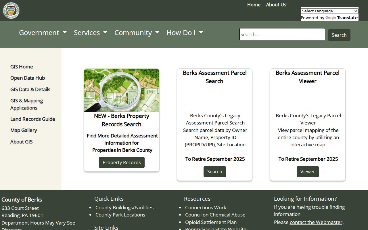
The current property-records route is the first link between a street address and a parcel, even when the live service displays a maintenance notice.
Berks County Street Records by Address
Several record sets can be keyed to an address, but each answers a different question. Reading code, transfer, or inspection materials require the City of Reading contact or request route because no public web search index was confirmed. Elsewhere in the county, the relevant borough or township office must be identified. The countywide sources are property, tax, mapping, and deed records.
| Address record | Custodian | Street-level evidence | Access boundary |
|---|---|---|---|
| Assessment parcel | Property Records / Assessment | Situs, owner of record, UPI, Map PIN concepts | Owner is not a household roster. |
| Tax record | Berks tax portal | Parcel, location, mailing field, municipality, school district, ZIP | Tax correspondence may go elsewhere. |
| Parcel map | Mapping / GIS | Boundaries, adjacent parcels, address points | Confirm map labels against the parcel card. |
| Deed, mortgage, or plan | Recorder of Deeds | Parties, recording date, legal description, document number | Recorded event, not current occupancy. |
| Transfer, inspection, or code material | Reading or local municipality | Building or compliance chronology | Request by address and date; no countywide index confirmed. |
| Historic directories and maps | RPL, BHC, BCGS | Listed subscriber, household, or block context | Requires a date and edition; not proof of title. |
County tax search can also filter by municipality, school district, mailing city, and mailing ZIP. It is useful when the address is known but incomplete. Do not turn the ZIP or a mailing field into proof of a person’s street location.
Berks County Street Mailing Addresses
A mailing address on a tax record directs tax correspondence. It may be a business address, a relative’s address, a post office box, or another destination chosen for mail. It does not prove that the owner lives there. Likewise, a person associated with an owner name is not automatically a resident at the situs address.
This is a useful Berks County street directory check: compare the situs, the physical property address, with the mailing field, then preserve both without filling the gap between them. Renters, other household members, utility subscribers, and delivery records are not a general public street list. Property data remains valuable because it precisely anchors the parcel, but its scope must stay clear.
- Parcel
- A defined piece of real property mapped for assessment and tax purposes.
- Situs address
- The physical location assigned to the parcel.
- Legal description
- The lot, block, subdivision, or metes-and-bounds description carried in land records.
- Criss-cross directory
- A historical directory arranged by address, when a particular edition includes that format.
Use the Berks County Tax Street Search
The Berks online tax information search adds fields for house number and street, municipality, school district, mailing address, city, and ZIP. For an address lookup, use the house number and street as the portal requests. Municipality or school district can narrow a road that appears in more than one local setting.
Values, assessments, structure details, transfer prices, exemptions, and sketches were not confirmed from a live parcel card during the maintenance period. The careful approach is to report only the visible record concepts: owner, parcel or UPI, map PIN, situs, municipality, school district, and mailing fields. A parcel result should be saved with the search date because current tax records can change.
A Berks tax portal source screen documents the county’s online tax-search entry point and its address-oriented field model.
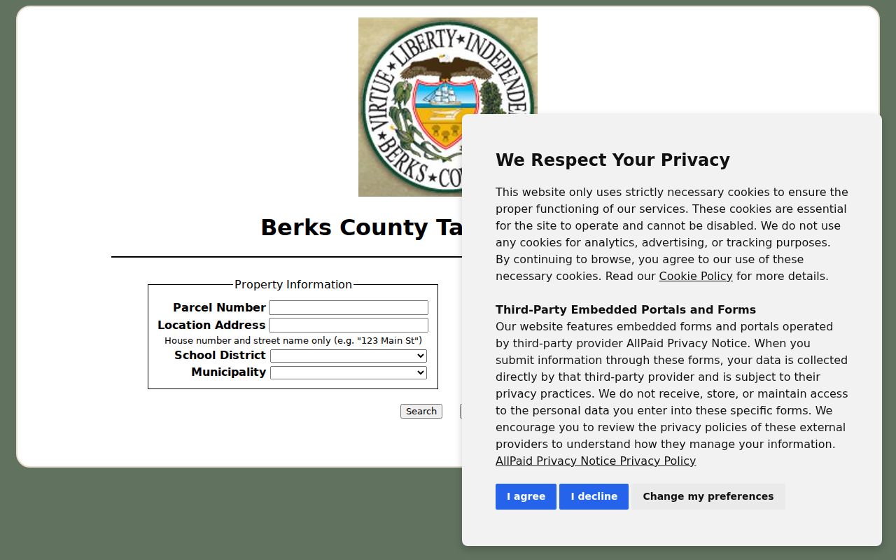
The tax interface provides a useful cross-check after a parcel is found, but a different owner mailing address remains only a correspondence detail.
Note: Postal ZIP fields help narrow a tax search, but USPS delivery geography does not redraw a Berks County parcel boundary.
Trace a Berks County Street Deed Chain
The Berks County Recorder of Deeds turns a property search into a time trail. From the parcel card, retain the current owner spelling, UPI, legal description, and any document or transfer reference. In the Recorder’s search, look for the purchase instrument by party and date. A grantor is the party conveying an interest; a grantee is the party receiving it. The legal description and subdivision name provide a stable check when printed street addresses vary.
Next, search the prior seller as a grantee to locate that party’s acquisition. Record the date, parties, instrument, document identifier, legal description, printed address, and plan reference at each step. Mortgages, satisfactions, liens, plans, and judicial instruments can explain a transition, so a deed sequence should not be described as a simple list of sales.
A Berks Mapping Department source image documents its tax-map role and review of deeds and subdivision plans.
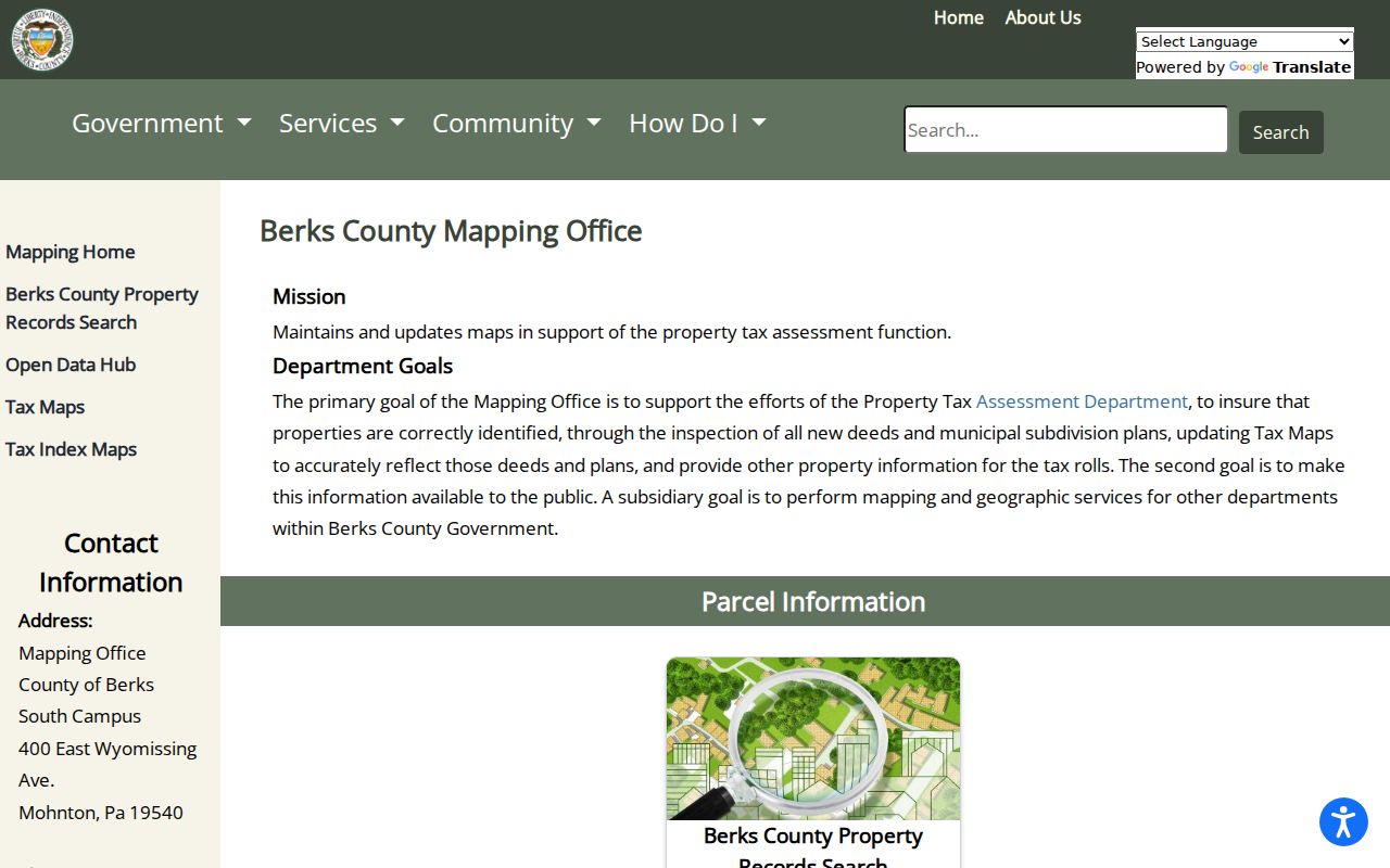
That mapping role explains why the parcel identifier, plan, and legal description are stronger links in a deed chain than a street name by itself.
Berks County Recorder Formats Since 1752
Berks County was created in 1752, and the Recorder states that its computerized image and index system reaches to the county’s creation. The office preserves original handwritten or typed books for 1752 through 1953, microfilm for 1953 through 2004, and digitally retained records from 2004 forward. This is a records-preservation sequence, not a promise that every old image will be equally readable or downloadable.
If a historical document is difficult to read, inspect the hit and contact the Recorder about a problem copy. The office offers regular web and counter copies for $0.50 per page and certified online copies for $10 per document, plus a payment-card processor fee. The same office accepts e-recording, in-person, and mail submissions for recorders, but searchers seeking copies should use the stated copy route rather than a paid deed-copy solicitation.
Note: A change from books to microfilm to digital retention affects access and legibility, not the underlying continuity of a Berks County land record.
Historic Berks County Street Listings
For an older address, the Reading Public Library Pennsylvania Room, Berks History Center, and Berks County Genealogical Society supply the historical layer that current parcel records cannot. Reading Public Library holds city and suburban telephone directories, maps, newspapers, census material, and yearbooks. Berks History Center holds city directories, maps, newspapers, church records, and manuscripts. BCGS adds Berks federal census microfilm for 1790 through 1930 and Reading Eagle microfilm for 1868 through 1972.
Neither RPL nor BHC published a confirmed reverse or criss-cross run online in the research. Request a specific edition, inspect its title page and abbreviation key, and then read its street section if present. A historic listing can support family history or an address timeline, but it should be compared with a map, deed, census, or newspaper notice. The collection details themselves are handled more fully in the Berks County city directory material.
A legacy parcel-search source image records the older map and property search routes that preceded the current rollout.
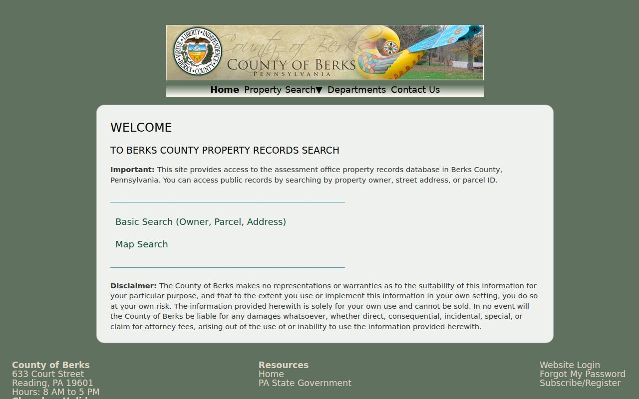
The legacy field options show why an address, UPI, Map PIN, and municipality can all be useful when a historic street label is uncertain.
Berks County Street Election Access
Election records are regulated records, not a street-status browser. Pennsylvania’s individual voter-status service is for a person’s own verification. Street lists and other registration material are governed by Election Code provisions, including inspection rules in 25 Pa.C.S. § 1207 and request conditions in § 1404. Berks Election Services is the proper custodian for a lawful, specific request.
A public-information request requires identification and a written permitted-purpose affirmation. The material may include defined elector information under the statute, but electronic signatures and SURE registration numbers are excluded. Voting history means election participation, never ballot selections. Do not use a self-status form to build a road list or assume a registration record identifies every person living at an address.
Reading Street Records Need Local Requests
Reading has Certificate of Transfer, inspection, property-maintenance, and blight material that can place a building event around a date. The city’s public permits, applications, and licenses page is a contact and application route, not a confirmed searchable code-record index. Ask for a record by address and date through the proper city channel.
For an address outside Reading, start with the municipality’s code or building office. Berks County research found no universal countywide permits index. The Recorder’s subdivision and land-development plans, combined with an assessment parcel, remain the countywide bridge when a property’s street history needs more context.
Limits of the Berks County Street Directory
The Berks County street directory can connect an address to a parcel, an owner of record, a recorded land event, and carefully dated historical material. It cannot reveal every renter, family member, utility customer, delivery recipient, or person who may be present at a home. DMV personal information is restricted under the federal Driver’s Privacy Protection Act. ACP participants may use a substitute address in voter, court, marriage, vehicle, school, utility, and related records.
Use public address records for family history, estate research, checking a property transaction, civic transparency, or consumer safety. Pennsylvania law prohibits stalking and harassment, and public access never authorizes threats, intimidation, or harm. If a record appears wrong, take it to the responsible custodian: Assessment or Mapping for property data, the Recorder for land records, and Election Services for voter material.
Lawful use. Berks County address records support personal, lawful research. Never use an address trail to stalk, harass, intimidate, or harm another person.